Elena Jung · 22 September 2026
Autonomous Vessel Routing Systems Integrate Satellite and Buoy Networks to Manage Mist in Major Ports
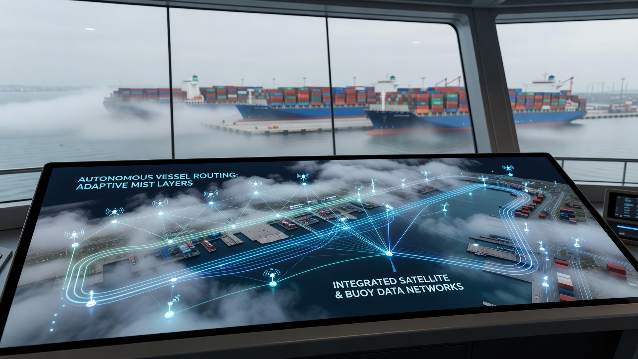
Port authorities in several regions have expanded autonomous vessel routing platforms since 2024, and these systems now pull live feeds from orbital satellites alongside networks of moored buoys to adjust routes when dense mist forms without warning. Data streams merge at shore-based control centers where algorithms recalculate paths for container ships and tankers, reducing the need for manual overrides during low-visibility periods. In September 2026, operators at the Port of Singapore completed a full integration test that linked European Space Agency Sentinel-3 satellite passes with a grid of twenty-four buoys equipped with lidar and humidity probes. The combined dataset updated routing models every ninety seconds, allowing unmanned tugs to maintain scheduled arrivals even when surface visibility dropped below two hundred meters.Data Fusion Architecture
Engineers design the core architecture around a central processing node that ingests raw satellite reflectance values while simultaneously receiving acoustic and optical readings from buoys anchored at channel entrances and turning basins. Buoy payloads measure droplet size distribution and wind shear at multiple depths, and these measurements calibrate satellite-derived mist thickness estimates in near real time. When discrepancies exceed preset thresholds, the system flags the affected grid cells and triggers alternative track lines for approaching vessels.
Research teams at the Technical University of Denmark documented similar fusion methods during trials in the Øresund region, where satellite overpasses occur roughly four times daily and buoy clusters fill coverage gaps between passes. Their published results show that position errors for autonomous test vessels fell by thirty-eight percent compared with satellite-only guidance during mist events lasting longer than four hours.
Implementation Across Key Ports
Rotterdam’s Port Authority began rolling out an expanded buoy array in early 2025 that now covers both the Nieuwe Waterweg and the approaches to Maasvlakte terminals. Each buoy transmits compressed packets over dedicated VHF channels, and shore servers combine the packets with Copernicus Atmosphere Monitoring Service aerosol forecasts. Vessel traffic services then push revised waypoints directly to the onboard autopilots of participating carriers.
Australian Maritime Safety Authority officials reported parallel progress at the Port of Melbourne, where a smaller buoy network supplements Himawari-9 geostationary imagery. The hybrid feed supports routing decisions for bulk carriers that call during the region’s frequent winter mist outbreaks. Throughput statistics released in August 2026 indicated that average dwell times for mist-affected vessels dropped from 9.2 hours to 6.1 hours after the system went live.
Operational Challenges and Adjustments
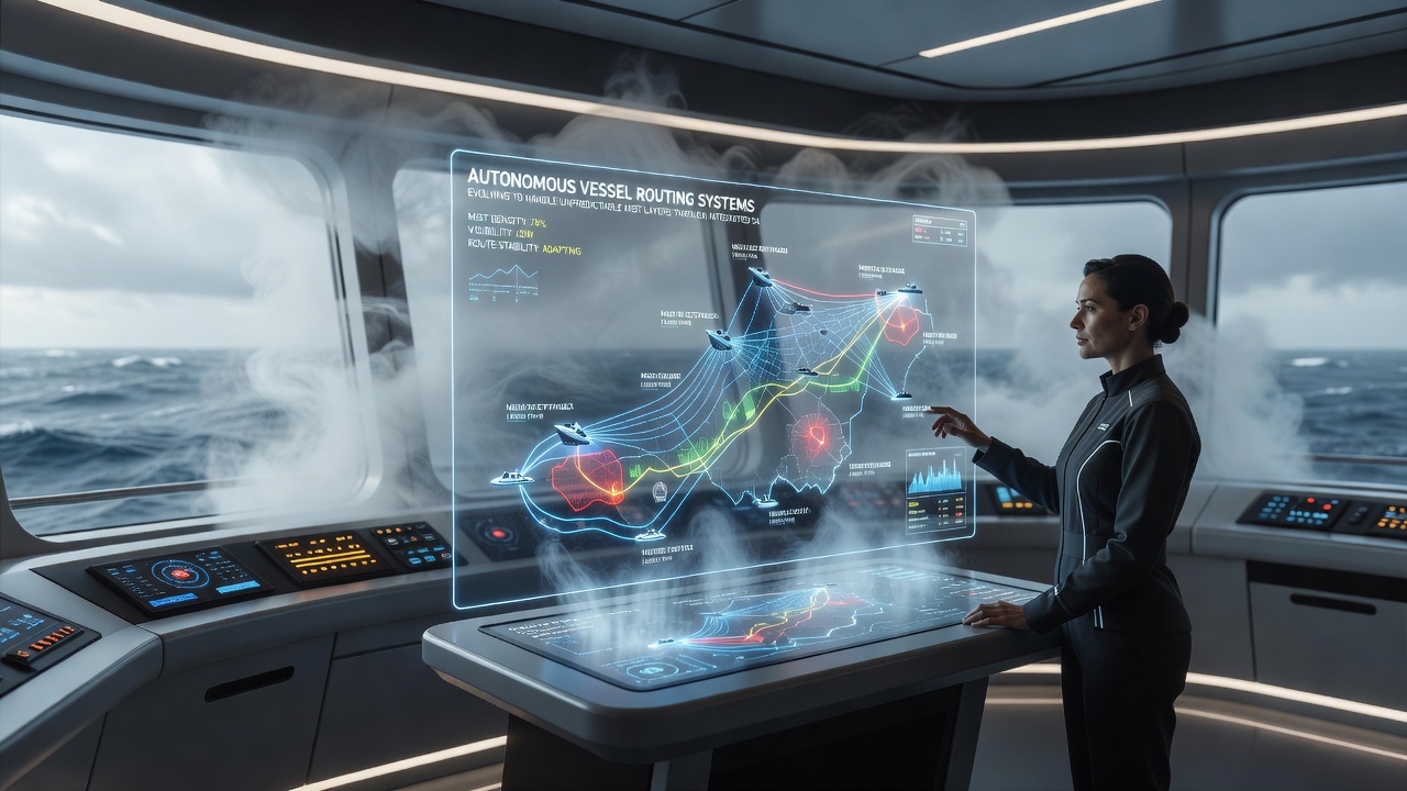
Hardware durability remains a primary constraint because salt spray and biofouling degrade buoy sensors within twelve to eighteen months. Maintenance crews therefore schedule quarterly retrievals using workboats equipped with spare sensor pods, and the rotation keeps data continuity above ninety-four percent at the busiest installations. Software teams address occasional latency spikes by caching the most recent satellite composite on vessel servers, allowing continued operation even if the shore link drops for several minutes.
Observers note that regulatory bodies in different jurisdictions apply distinct validation standards. The Canadian Coast Guard requires at least one redundant buoy within each critical fairway segment, whereas the Maritime and Port Authority of Singapore accepts a higher satellite weighting provided buoy density meets minimum spacing criteria. These variations influence capital costs but have not prevented cross-border data sharing agreements that let vessels transition between networks without manual reconfiguration.
Future Expansion Plans
Port planners in Los Angeles and Long Beach have budgeted for a joint satellite-buoy demonstration that will begin in the first quarter of 2027. The project will incorporate additional infrared channels from NOAA’s GOES-R series to improve nighttime mist detection, and early modeling suggests the enhanced resolution could support routing updates at thirty-second intervals. Industry groups such as the International Association of Ports and Harbors have circulated draft performance benchmarks that participating ports intend to adopt once the trial concludes.
Conclusion
Integrated satellite and buoy networks continue to supply the granular environmental data required for autonomous vessel routing in mist-prone harbors. Ports that have completed the necessary infrastructure upgrades report measurable reductions in schedule variance, and ongoing maintenance programs aim to sustain those gains through the remainder of the decade. Additional installations planned for 2027 and beyond will test whether the same architecture scales to secondary ports with lower traffic volumes yet similar visibility challenges.