Elena Jung · 3 November 2026
Harbor Sediment Layers Hold Clues to Long-Term Shifts in Fog-Driven Trade Disruptions
Harbor sediment layers preserve detailed records of past fog patterns that have repeatedly altered maritime trade routes and schedules across multiple decades, and researchers extract these cores to identify chemical markers and microfossil evidence that correlate with documented periods of reduced visibility. Scientists at institutions such as the Scripps Institution of Oceanography analyze diatom assemblages and isotopic signatures within the strata because these elements reflect changes in atmospheric moisture and aerosol concentrations that accompany persistent coastal fog banks. Data from several major ports indicate that fog frequency increased during specific climate intervals in the twentieth century, and those shifts align with measurable declines in cargo throughput at affected facilities.
Methods for Reconstructing Fog Histories
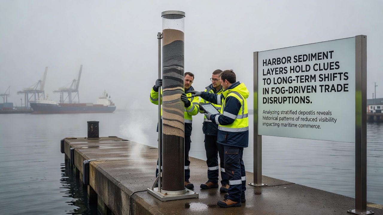
Teams collect sediment cores using specialized vibracoring equipment that preserves fine laminations without disturbing the chronological sequence, then they section the samples at millimeter intervals for laboratory processing. X-ray fluorescence scanning identifies variations in silicon and aluminum ratios that often correspond to fog-related deposition events, while radiocarbon dating establishes timelines that stretch back several centuries in deeper layers. One study conducted along the Pacific coast demonstrated how increased bromine concentrations in certain strata coincided with known episodes of marine layer thickening, and those same intervals matched archival shipping logs that recorded multi-day delays at terminals.
Port authorities in Australia and Canada have begun incorporating these paleoenvironmental datasets into operational planning models, and the approach allows forecasters to anticipate recurrence intervals for high-impact fog seasons. Researchers cross-reference the sediment proxies with instrumental records from the 1950s onward to calibrate their interpretations, which strengthens the reliability of longer-term reconstructions. In November 2026 a collaborative project between European and North American laboratories released updated chronologies that extend fog-frequency estimates through the late nineteenth century, and those findings highlight recurring clusters of elevated fog activity separated by decades of relative clarity.
Connections to Historical Trade Patterns
Archival shipping manifests from the 1920s and 1930s reveal repeated cargo backlogs at fog-prone harbors, and sediment evidence now confirms that those decades featured above-average marine layer persistence. Trade volumes at certain West Coast facilities dropped by measurable percentages during documented fog outbreaks, while alternative routing decisions shifted cargo toward less affected ports and increased overall logistics costs. Observers note that similar patterns appear in earlier layers corresponding to the 1890s, suggesting that fog-driven disruptions operate on multi-decadal cycles rather than isolated anomalies.
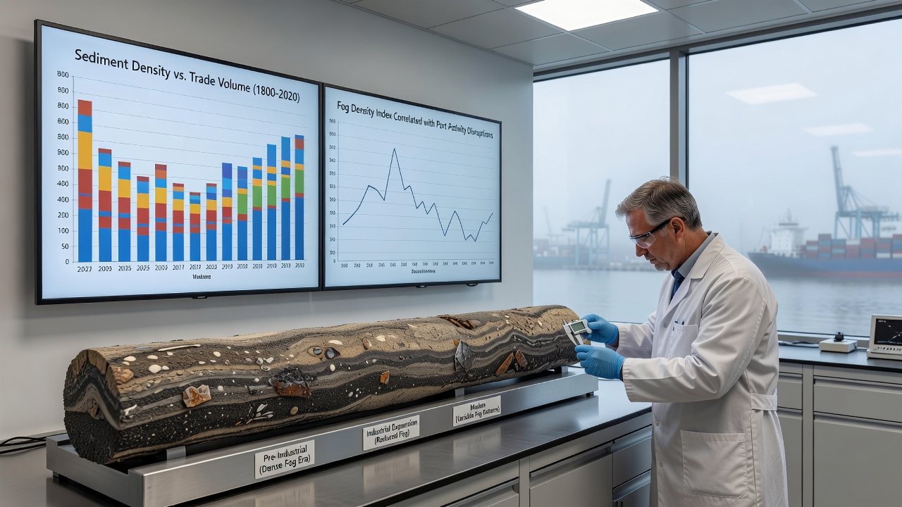
Maritime insurance records further corroborate the sediment-derived timelines because premium adjustments often followed clusters of visibility-related claims, and those financial data points provide independent verification of fog intensity. European ports have maintained comparable datasets since the early twentieth century, and integration of these sources with North American cores produces a broader regional picture of atmospheric variability. The combined evidence indicates that shifts in ocean surface temperatures and wind patterns have modulated fog formation over time, which in turn influenced vessel scheduling and port throughput statistics.
Current Applications in Port Management
Modern port operators use the long-term reconstructions to refine risk assessments and infrastructure investments, and sediment-derived fog frequency maps help prioritize fog-detection sensor placements along approach channels. The National Oceanic and Atmospheric Administration maintains public databases that now include paleoclimate layers alongside real-time observations, allowing planners to model future scenarios with greater temporal depth. NOAA coastal studies supply baseline measurements that researchers calibrate against sediment proxies from multiple harbor systems. Similar initiatives in Canada draw on Geological Survey of Canada archives to extend the geographic coverage, and the resulting maps reveal consistent patterns across the northern Pacific basin.
Trade analysts compare historical disruption intervals with contemporary vessel tracking data, and the comparisons show that fog clusters still produce measurable throughput reductions even as navigation technology improves. Ports in regions with dense sediment records have begun scheduling maintenance dredging during projected low-fog windows, which reduces operational conflicts during high-visibility periods. These practices rest on empirical correlations rather than speculation, and the underlying datasets continue to expand as additional cores undergo analysis.
Conclusion
Sediment layers therefore function as archives that document the frequency and intensity of fog events capable of influencing trade continuity, and ongoing research integrates these records with modern monitoring systems to improve long-range planning accuracy. The approach yields objective timelines that span multiple centuries, and port authorities increasingly reference these chronologies when evaluating infrastructure resilience. Continued core collection and laboratory refinement will extend the available datasets, supporting more precise assessments of how atmospheric conditions have shaped maritime commerce over time.